Sunday, April 28, 2019

Basin Mountain, SE Chute

Ann, her pup Olive, and I skied the southeast chute on Basin Mountain this morning. We left the truck around 6:30 with mild temps and moderate breezes.

A pleasant 15 or 20 minute walk brought us to continuous snow. 

Looking up the chute.

We skinned the low angle approach.

Then booted with crampons up the chute proper.

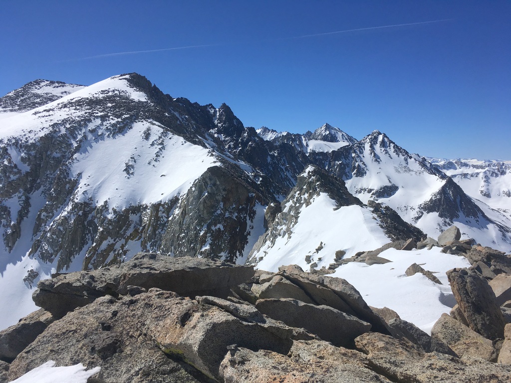
Mostly good booting with a little post holing brought us to the ridge with views into the "basin" part of Basin Mountain. Great granite landscape.

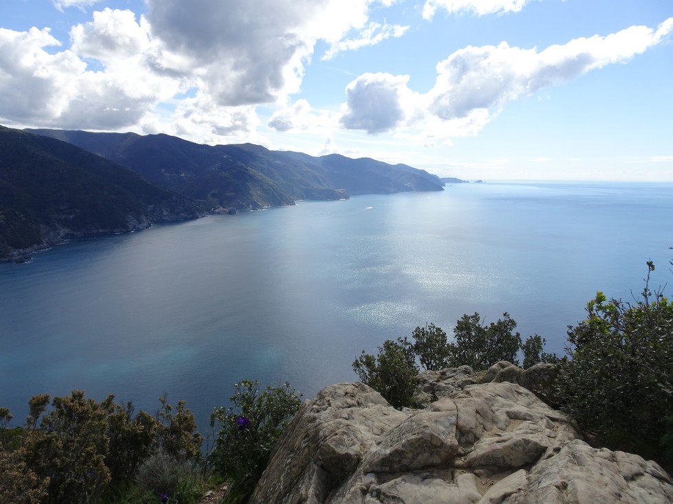
Ann, Olive, and Mt Tom

A peek into the basin. The snow slope low is the bottom part of the giant Basin Couloir.

Ann & Olive enjoy the snow.

Last night's refreeze was not as solid as previous nights but the snow still held up really well. We began our descent around 10:15 and found good skiing all the way down. Would have been a bit better a half hour earlier but not much. Another fine day in the hills!

Friday, April 26, 2019

Brown Lake & Pt. 12682

Spring skiing in the Sierra is addictive! Today I elected to stay close to home and tour in the high country.

The road is apparently plowed to South Lake but it's still gated just above the Parcher's Resort. That may change tomorrow with fishing opener - maybe. From the little parking area at the gate I hopped right on the snow and headed up towards Brown Lake. Started around 6:45.

Views of the South Fork of Bishop Creek from the top of the initial slope above Parcher's. I booted up with crampons on firm snow.

Beautiful morning nearing Brown Lake. My tour took me up the bowl in the shade then up to point 12682 (out of view).

Started with boots & crampons here too which was great until around 12000' where I started to punch through, so I skinned w/ ski crampons the rest of the way to the summit.

Views! Vagabond Peak (far left), Mt Agassiz (distant right) and Picture Puzzle (right).

Peaks! Goode (right w/ huge North Face), Gilbert (right w/ snow ramp), & blocky Thompson (far right) among many others.

Looking north down the South Fork.

Tools of the trade.

Pure $$!

Started down a bit after 10:00 and found firm conditions for the first few turns, but once I was able to wrap around to a slightly east facing slope the snow was perfect. I like my corn al dente where it's just soft enough to feel smooth underfoot!

While McGee was fun, today slotted into the fantastic category.

Wednesday, April 24, 2019

McGee Mountain

Back home from Europe, mostly recovered from the jet lag, fighting back a slight cold, I felt the need to get up in the hills.

Figured I'd ease into it with a roadside tour up McGee. The lines down to Crowley Lake Drive are dry at the bottom but a short drive up McGee Creek Road brought me to continuous snow.

Left the car at 6:30. Started booting since the party ahead had put in a good boot track.

The main attraction here.

I elected to get off the beaten path and headed up this chute. Booting was punchy so I switched to skinning with crampons - which was efficient.

The chute led to this beautiful bowl.

Views to Red Mtn (left) and Nevahbe Ridge (right).

Sweet views at the top. From left to right White Fang, Mt Morrison, Bloody (w/ Old Man's Bowl in front) and Laurel.

Headed down around 9:00 and found good snow at the top gradually getting softer and stickier further down. A couple of short sections of mank, but mostly supportable. Pretty darn fun overall.

Monday, April 15, 2019

Manarola to Riomagiorre

For our last full day in Cinque Terre we chose to hike from Manarola to Riomagiorre, the southern most Cinque Terre village.

After a short train ride we found the trail and traversed above Manarola.

The "Trail of Tulips" rises quite steeply up a stunning ridge above town. Sadly we were early for the tulips, but the hike was still quite beautiful.

The rail here is the monorail used to haul harvested grapes and farming supplies.

Manarola


After the steep climb we traversed this quite pleasant trail towards Groppo.

The land of stairs!

and many vineyards.

This section of trail was particularly picturesque and quiet.


Looking north to "our" village of Corniglia (closest point) and further to Punta Mesco (distant large point) where we hiked yesterday.

Here a farmer transports fertilizer on the monorail above the sea.

The steep descent to Riomaggiore.

Onto the busy main avenue.

A few paces from the train station a nice path leads out along cliffs and afforded a view of our route along and down the ridge into town.

Another fine hike for sure!
Now we pack our bags and head to Florence.

Monterossa to Levanto

After a relatively easy day strolling around Porto Venere, Mary and I were up for a longer hike. The terrain to the north beckoned, so we chose to hike from the Cinque Terra town of Monterossa to the somewhat larger city of Levanto.

Mileage markers do not, in fact, indicate mileage but estimated hiking duration. Here we are two hours and five minutes from Levanto. For the most part the times were surprisingly accurate.

From Monterossa the trail rises steeply up numerous long stair sections.

Looking back along the coast to the Cinque Terre villages.

The trail climbs up to this medieval chapel at Punta Mesco.


Once round Punta Mesco the trail heads north, high above the rugged wild coastline.

On the journey north the trail winds in and out of small, deeply wooded drainages.


Eventually we arrived at the outskirts of Levanto.

We walked briefly on a road with fabulous estates above and below.

Our first glimpse down to the small city of Levanto.

An easy stroll on the beach was a pleasant way to end the hike.

We enjoyed a fine meal in town before catching the train back to Corniglia.
Another wonderful day!