Sunday, June 11, 2023

Deep Canyon

 Having found little skiable snow in the Toiyabes, I headed west to the Bridgeport area, where I figured lack of snow would not be an issue.

 I tend to seek out lines off the beaten path and lines I have not skied before - sometimes to my detriment! For good skiing with easy access, Virginia Lakes would have been the choice, but I've skied there a lot over the years, so I tried my hand on this line. Deep Canyon above Lower Summer Meadow.


 I scouted access the day before after driving from the Toiyabes, checked the topos, and elected to traverse from the Summers Meadow Road from just above a stream crossing - otherwise waders would have been required to get across the creek.

Judging from the distance and terrain I figured it would take me 45 minutes, maybe an hour tops, to get to snow, but the brush proved to be a lot more formidable than I counted on. An hour and twenty minutes later I was at last on snow. Heavily sun cupped, but easy traveling.

A bit above I found these interesting bear tracks. Looks like the bear was doing a little glissading on the way down!

Soon I was above treeline on open snow slopes.

North to Bridgeport Valley and the Sweetwater Range. The suncups were deep in spots, but there were also large patches of somewhat smooth snow too.

Mono Lake and the broad, glacier carved Green Creek valley in the foreground.

From the summit, Dunderpeak left and Excelsior Mountain distant right.

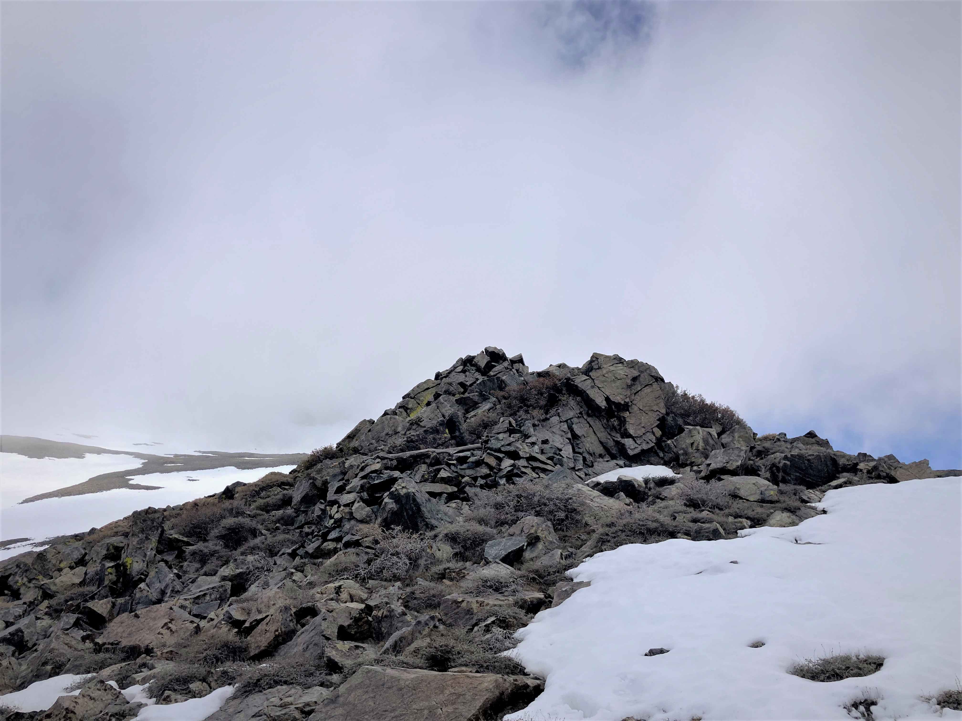
Monument Ridge with Twin Peaks just poking up behind left and the Sawtooth Ridge distant right.

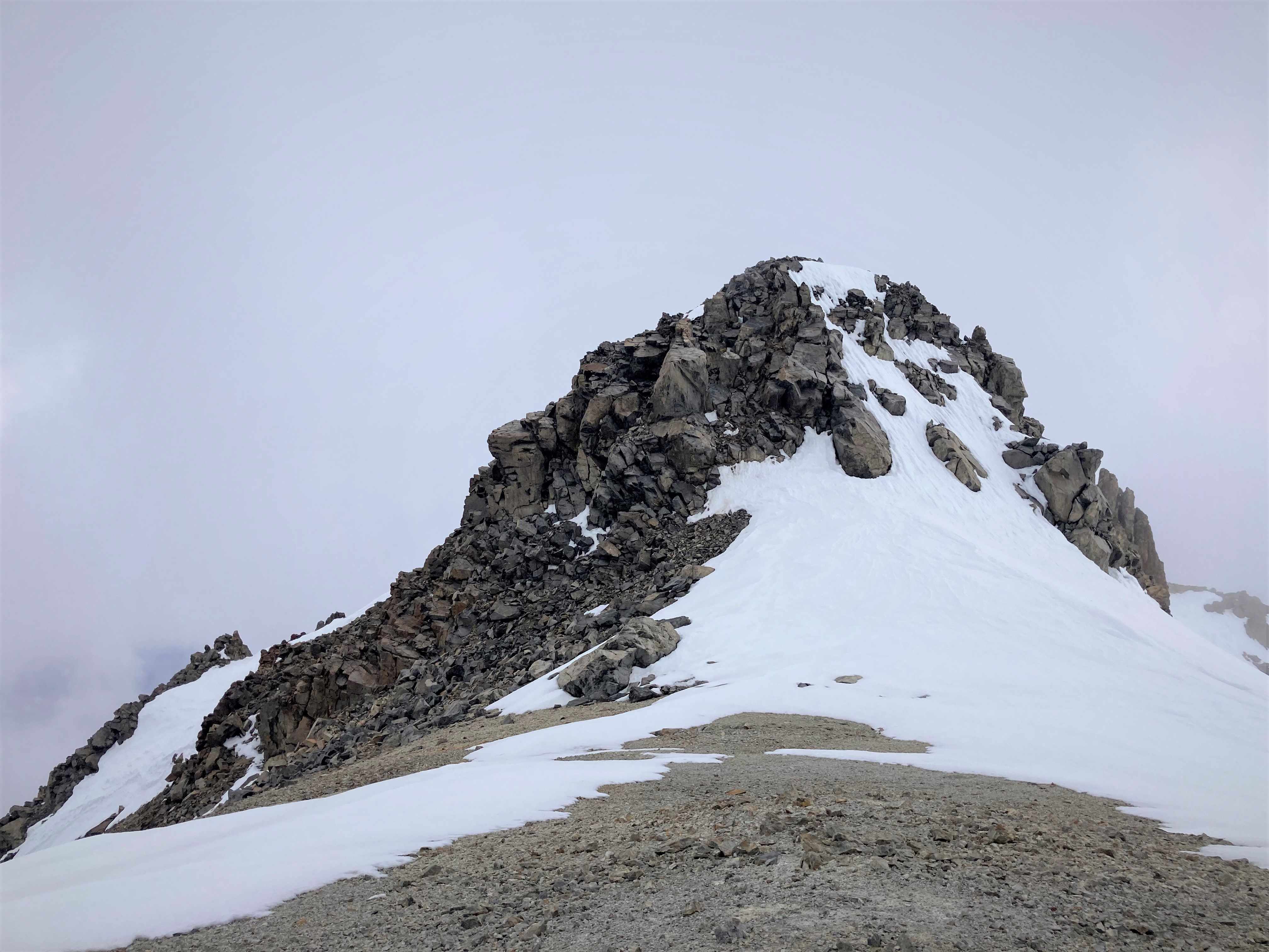
I very much enjoyed the high elevation scenery, but while I was at the summit the winds picked up and the clouds rolled in, so I did not linger.

For the most part I enjoyed good skiing up high and down through the mid section by looking for the smooth panels. The light was pretty too.

The pink "watermelon" snow down low skied fairly well too, then the final snow tongue was cupped but soft.

3,000' of low angle fun was followed by 800' of brush through these slopes. Much easier going down than up since gravity helped and I could see the alleys through the brush better.


Long day. Great day!

Thunderstorms got more organized later that afternoon and evening and when I awoke the next morning all the peaks were shrouded in clouds with scattered rain and, perhaps, snow falling. Time to head home! Wonderful road trip.

Saturday, June 10, 2023

Bunker Hill

I've been hankering for another trip to Nevada and after checking the snow depth maps it looked like there was enough snow to warrant a trip to the Toiyabe Range. 

Bunker Hill is the second highest peak in the range (Arc Dome is the highest) and is by far the most prominent mountain in the northern part of the Toiyabes.

Unfortunately there was a lot less snow than I had hoped, but I pressed on anyhow.

 The only real skiable line was on the northwest side of the mountain above Basin Canyon.

 There is decent stock trail that led almost all the way to the bottom of the snow tongue then I had easy booting up the snow field.

Above the snowfield I found a decent use trail leading to the peak. Looking north along the spine of the range.

The first of three false summits.

Looking down Mahogany Gulch. The Shoshone Range lies across the Reese River Valley left and the Desatoya Range is distant right.

On the summit looking to the lower south summit. Snow!

On the descent I poked around on the east side and found this nice line. Skied well and with a hard traverse left I found myself very near the top of the lower snow field.

The skiing was pretty good here too although the snow tongue was pretty cupped.

Looking back on my descent line with the stock trail.

Pretty dry down low. Nice scenery though.

Felt lucky to have found any skiing at all!


Sunday, June 4, 2023

McGee

 McGee Mountain is a huge massif with dozens of lines. I've eyed these shots all winter and figured it was time. The road into Tobacco Flat is free of snow, so I could drive right to the base. Ascended the left patch in the shade and descended the left most chute of the trident on the right.

Easy booting with crampons quickly got me to the top. Looking down my run.

Minutiae.

The middle fork of the trident looked good too, but had huge glide cracks wall to wall part way down.

McGee Mountain plateau. The summit is the dry, rounded hump left.

Swell views to the Mt Morrison area.

The snow here was only slightly cupped. With nice soft snow I didn't even notice them.

Milked it all the way out to the end of snow.

Cool quickie. As Patrick put it, "novelty skiing."  I'll take it!
 

Wednesday, May 31, 2023

Rock Creek

The Rock Creek Road is now open to the Pack Station, the usual spring closure, so I roped in my pal Patrick for a tour. We didn't have any specific goal in mind, but this nice chute off the ridge of Mt Starr immediately caught our attention.

Patrick always brings plenty of stoke!

Pointless Peak. The big lines off the right side held a lot of debris and runnels. Not attractive.

Mount Morgan South

Snack break. We booted up left to the ridge.

Sweet views from the ridge. Red Slate center left.

Mt Starr left and Mono Pass down right.

The snow quality was great. Quite smooth high, then more cups and runnels lower, improving again here below the choke.


 A little tedious descending through heavily cupped and wind sculpted snow in the forest brought us to the road which provided a nice exit almost all the way back to the pack station.

Fine short tour!

Tuesday, May 30, 2023

Brown Lake

 The South Lake Road is open to Parcher's Resort now. Plowed to South Lake too, but that section is still closed to traffic. I took advantage of the access to tour up to Brown Lake and on up to pt 12862'. I left the little parking area at 7am. The snow was solid with a nice refreeze, so I booted all the way using crampons for the Parcher's slope and the ascent of the peak.

 Bluff Lake with my ascent route back left up the bowl. Folks looked like they had good runs off the ridge on the right too.

Brown Lake. Lots of suncups on the flats and many of the lower angle slopes.

Looking down to Brown Lake.

Runnel city, but the lookers right zone skied well.


Always nice to summit! Agassiz distant/far left. Picture Puzzle mid/left, and Goode right.

Looking down the South Fork.

Honestly, I wasn't sure the skiing was going to be that great owing to the runnels and texture, but the snow had softened perfectly by about 10:45 providing quite fun turns.

The Parcher's slope skied well too.


 Skied right to the car. Always nice! Good medium day in the hills.

Saturday, May 27, 2023

White Mountain Attempt

 I got home yesterday from an attempt to summit White Mountain, the third highest peak in California and one I gaze at nearly every day from our house. The plan was to tackle it from the east side, driving up Leidy Canyon, hiking up an old stock trail to somewhere near Perry Aiken Flat, setting camp, then attempting the summit the next day.

The road up Leidy Canyon is well maintained until the last mile where it becomes more of a 4x4 route. I was stymied by this creek crossing. No way was I going to try to drive it, so I had to decide between wading it or bushwhacking upstream to where the road crosses back.

I chose the bushwhack through this. Somewhat of a nightmare, but for only about a quarter mile.


 I easily found the stock trail which was wonderful. Steep but not too steep, good dirt, fine views. I found a fine campsite at about 10,500', set camp, and explored the high country above.

Found an old shepherd's shelter among this small outcrop.

Complete with a fireplace and shelves!

Great stark scenery.


Bristlecones! Saw a bighorn sheep in the distance too.

I also enjoyed a pleasant, low angle ski descent back to camp, which was just a short distance down this drainage.

Took an after dinner stroll up to a nearby ridge with good views of Fish Lake Valley.

I slept well, rising early for my attempt on the summit.

Sublime.

I traversed over the ridge distant left into this huge basin at the head of the North Fork of Perry Aiken Creek.

For some reason my phone camera intermittently malfunctioned, taking blurry photos. A shame, but I include this one showing my routes.

I initially climbed the ridge left, reaching the rocks as the clouds rolled in. I descended and regrouped finally electing to cruise up the large bowl to the right.

Clouds rolling in high on the ridge.

Looking down on the expansive basin.

As I wound my way up the bowl I noticed this route up to the crest. Why not?

On the crest! Just 300' and a quarter mile from the summit (photo blurred so did not include, ugh). Looking north along the crest.


Sadly another wave of clouds rolled in along with steady graupel. Time to bail. I had a great descent nevertheless with just enough visibility to see the terrain and make good turns.

Leaving the basin the clouds parted briefly.

Pleasant descent back to camp.


Where the weather rolled in once again. Snow!

Next morning I hiked out. The creek had fallen, so no bushwhack. 

Sure had a lot of great moments up there!